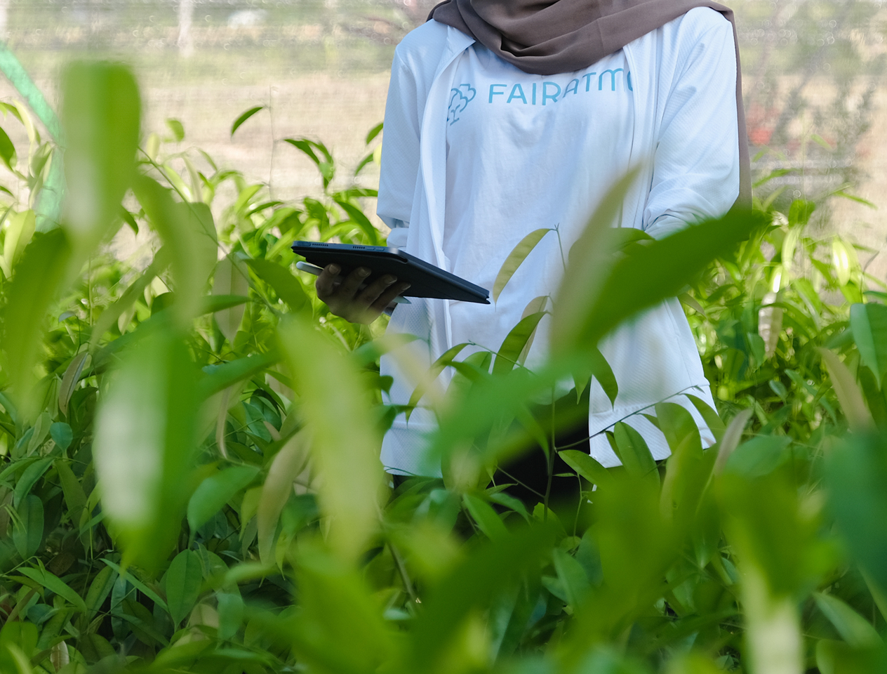
Using AI-Powered Insights and Geospatial Data to Understand and Monitor Nature
Our technology has allowed us to work with 360 asset owners assessing 30M+ hectares of forest area in less than 3 years, providing them the best data on most high value high impact projects. We are expanding our efforts to co-develop 4 carbon projects with a total potential of 5.9 million carbon credits.


THE FAIRATMOS DIFFERENCE
Where Innovation and Talent Meets Global Standards
We are committed in merging technology, integrity, and community impact for a carbon-neutral future.

WHY WE DO IT
The Vision of a Better Future
We envision a world where economic progress and carbon sustainability go hand in hand. A future where restored forests, clean air, and resilient ecosystems support thriving communities, ensuring long-term environmental and economic balance.

HOW WE MAKE IT HAPPEN
Our Mission to Scale Up Nature Power as Solutions to Climate Change
We enable carbon neutrality through innovative projects, leveraging technology and geospatial insights to restore ecosystems, cut emissions, and harmonize growth with planetary health.
SEE WHAT THEY SAY

Proof of Our Journey
Explore our thought leadership and success stories with these examples. From innovative carbon projects to actionable sustainability insights, here are some publications that reflect our expertise and commitment to shaping a greener future.
WE'RE HIRING
Be a Part of Our Journey to Carbon Neutrality
We're looking for passionate people who feel the need to join us on our mission. If you'd like to challenge status quo, innovate, and experiment in creating a global-sweeping change, make your mark with us!


