Seamless Carbon Project Monitoring with AtmosWatch
Others
 ClientResponseError 404
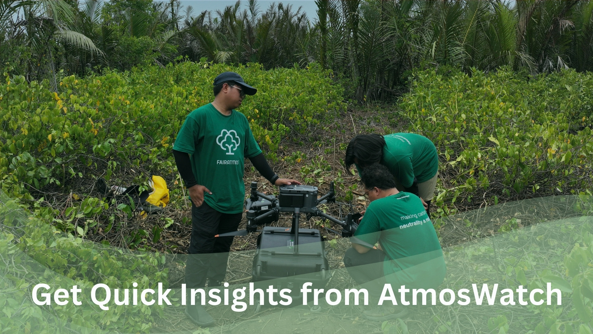
Nature-based carbon projects, such as reforestation and afforestation, are powerful tools for offsetting emissions and driving sustainability. However, ensuring their success requires continuous monitoring—a challenge that can be resource-intensive and complex.
Introducing AtmosWatch: Smart, Real Time, and Scalable
Fairatmos presents AtmosWatch, a cutting-edge web-based platform designed to provide real time, data-driven insights into your carbon projects. With its Overview Aerial Map feature, AtmosWatch enables users to visualize, track, and assess project areas with ease.
Simply upload your project location, and AtmosWatch will generate a high-resolution aerial map that outlines your exact boundaries. With just a few clicks, toggle advanced monitoring tools to gain real-time visibility into your project’s landscape and surrounding areas.
Actionable Insights at Your Fingertips
AtmosWatch goes beyond conventional monitoring tools by offering three powerful analytics layers:
🔴 Deforestation Risk
- Identify areas at risk of deforestation, highlighted in red.
- Proactively safeguard high-risk zones.
🌿 Land Cover Classification
- Access detailed land cover maps, distinguishing 19 different land types (far surpassing free platforms).
- Track historical land use changes for informed decision-making.
🔥 Fire Hotspot Detection
- Monitor wildfire risks using NASA FIRMS data with high-precision alerts.
- Optimize fire mitigation strategies before threats escalate.
With these insights, carbon project developers and investors can prioritize conservation efforts, enhance risk management, and maximize project impact.
Experience the Future of Carbon Project Monitoring
Unlock the full potential of AtmosWatch with a 2-week free trial. Gain instant access to critical data and make smarter decisions for your projects.
🔗Read more -> ATMOSWATCH | 📌 Sign up for free trial -> HERE
For Buyers & Investors
Explore verified, high-impact projects like this through AtmosFund & invest in the future of sustainable landscapes.
Explore AtmosFundFor Landowners & Project Starters
Learn how your land could qualify for carbon project development through AtmosCheck.
Sign Up Now